പ്രമാണം:South Africa Northern Cape location map.svg

ഈ SVG പ്രമാണത്തിന്റെ PNG പ്രിവ്യൂവിന്റെ വലിപ്പം: 589 × 599 പിക്സലുകൾ. മറ്റ് റെസലൂഷനുകൾ: 236 × 240 പിക്സലുകൾ | 472 × 480 പിക്സലുകൾ | 755 × 768 പിക്സലുകൾ | 1,007 × 1,024 പിക്സലുകൾ | 2,014 × 2,048 പിക്സലുകൾ | 1,054 × 1,072 പിക്സലുകൾ.
പൂർണ്ണ വലിപ്പം (എസ്.വി.ജി. പ്രമാണം, നാമമാത്രമായ 1,054 × 1,072 പിക്സലുകൾ, പ്രമാണത്തിന്റെ വലിപ്പം: 296 കെ.ബി.)
| ഈ പ്രമാണം വിക്കിമീഡിയ കോമൺസിൽ നിന്നുള്ളതാണ്. പ്രമാണത്തെക്കുറിച്ചുള്ള വിവരണം താഴെ കൊടുത്തിരിക്കുന്നു.
|
ചുരുക്കം
| വിവരണം |
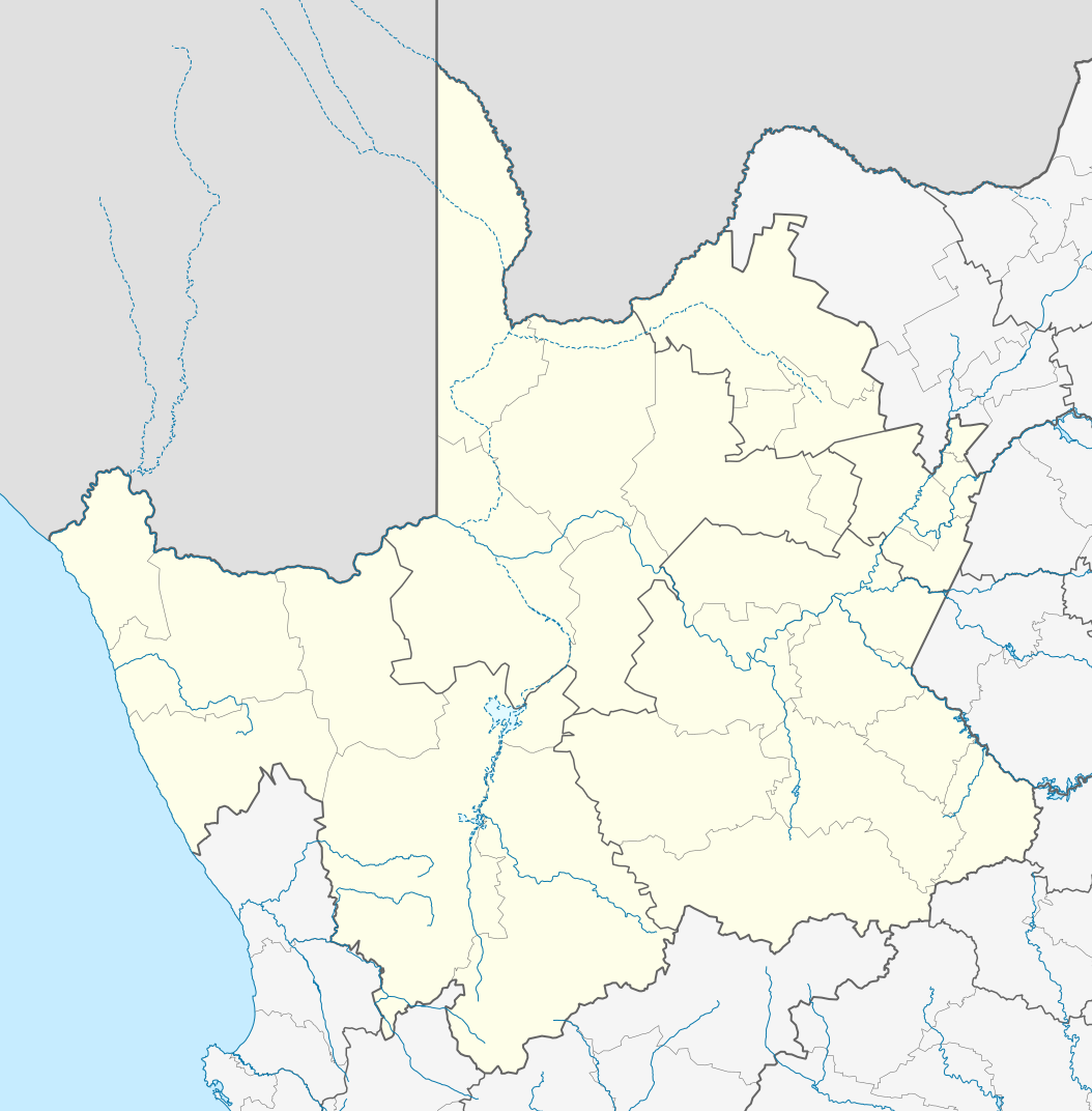
English: Location map of the Northern Cape
Equirectangular projection, N/S stretching 113%. Geographic limits of the map:
|
| തീയതി | |
| സ്രോതസ്സ് |
|
| സ്രഷ്ടാവ് | Htonl |
| അനുമതി (ഈ പ്രമാണത്തിന്റെ പുനരുപയോഗം) |
ഈ സൃഷ്ടിയുടെ പകർപ്പവകാശ ഉടമയായ ഞാൻ, താഴെ പറയുന്ന അനുമതിയിൽ ഈ സൃഷ്ടി ഇതിനാൽ പ്രസിദ്ധീകരിക്കുന്നു: ഈ പ്രമാണത്തിന് അനുമതി നൽകപ്പെട്ടിരിക്കുന്നത് ക്രിയേറ്റീവ് കോമൺസ് ആട്രിബ്യൂഷൻ-ഷെയർ എലൈക് 3.0 അൺപോർട്ടഡ് അനുവാദപത്ര പ്രകാരമാണ്.
|
| മറ്റു പതിപ്പുകൾ | File:South Africa Northern Cape relief location map.svg, File:Blank map of the Northern Cape (2011).svg |
.svg)
പ്രമാണ നാൾവഴി
ഏതെങ്കിലും തീയതി/സമയ കണ്ണിയിൽ ഞെക്കിയാൽ പ്രസ്തുതസമയത്ത് ഈ പ്രമാണം എങ്ങനെയായിരുന്നു എന്നു കാണാം.
| തീയതി/സമയം | ലഘുചിത്രം | അളവുകൾ | ഉപയോക്താവ് | അഭിപ്രായം | |
|---|---|---|---|---|---|
| നിലവിലുള്ളത് | 22:28, 6 ജനുവരി 2013 | | 1,054 × 1,072 (296 കെ.ബി.) | Htonl | == {{int:filedesc}} == {{Information |Description ={{en|Location map of the en:Northern Cape Equirectangular projection, N/S stretching 113%. Geographic limits of the map: * N: 24.25° S * S: 33.25° S * W: 16° E * E: 26° E}} |Source ... |
പ്രമാണത്തിന്റെ ഉപയോഗം
താഴെ കാണുന്ന 2 താളുകളിൽ ഈ ചിത്രം ഉപയോഗിക്കുന്നു:
പ്രമാണത്തിന്റെ ആഗോള ഉപയോഗം
താഴെ കൊടുത്തിരിക്കുന്ന മറ്റ് വിക്കികൾ ഈ പ്രമാണം ഉപയോഗിക്കുന്നു:
- af.wikipedia.org സംരംഭത്തിലെ ഉപയോഗം
- Kimberley
- Upington
- Fraserburg
- Orania
- Sutherland
- Alexanderbaai
- Onseepkans
- Pella
- Postmasburg
- Calvinia
- Augrabies- Nasionale Park
- Williston, Noord-Kaap
- Garies
- Kamieskroon
- Vioolsdrif
- Steinkopf
- Hopetown
- Douglas, Noord-Kaap
- Okiep
- Concordia
- Port Nolloth
- Springbok, Noord-Kaap
- Pofadder, Noord-Kaap
- Carnarvon
- Victoria-Wes
- Hutchinson
- Hondeklipbaai
- Henkries
- Goodhouse
- Leliefontein
- Prieska
- Colesberg
- Mesklip
- Warrenton, Noord-Kaap
- Kuruman
- Hotazel
- Jan Kempdorp
- Loeriesfontein
- Vosburg
- Strydenburg
- Kenhardt
- Marydale
- De Aar
- Hartswater
- Groblershoop
- Campbell
- Loxton
- Windsorton
- Van Wyksvlei
- Richmond, Noord-Kaap
ഈ പ്രമാണത്തിന്റെ കൂടുതൽ ആഗോള ഉപയോഗം കാണുക.