പ്രമാണം:Andhra Pradesh locator map (1956-2014).svg

പൂർണ്ണ വലിപ്പം (എസ്.വി.ജി. പ്രമാണം, നാമമാത്രമായ 2,716 × 2,531 പിക്സലുകൾ, പ്രമാണത്തിന്റെ വലിപ്പം: 372 കെ.ബി.)
| ഈ പ്രമാണം വിക്കിമീഡിയ കോമൺസിൽ നിന്നുള്ളതാണ്. പ്രമാണത്തെക്കുറിച്ചുള്ള വിവരണം താഴെ കൊടുത്തിരിക്കുന്നു.
|
.svg?uselang=ml)
| തലക്കെട്ട് |
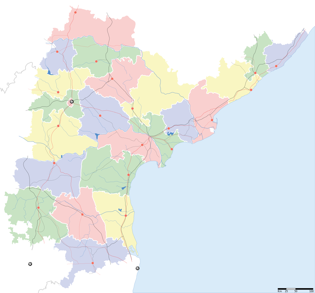
Andhra Pradesh locator Map. Coordinates: top=19.957, bottom=12.522, left=76.593, right=84.935. |
||
| Description |
Map of w:Andhra Pradesh with road and rail lines |
||
| തീയതി | |||
| സ്രോതസ്സ് |
സ്വന്തം സൃഷ്ടി |
||
| സ്രഷ്ടാവ് |
|
||
| അനുമതി (ഈ പ്രമാണത്തിന്റെ പുനരുപയോഗം) |
ഈ സൃഷ്ടിയുടെ പകർപ്പവകാശ ഉടമയായ ഞാൻ, താഴെ പറയുന്ന അനുമതിയിൽ ഈ സൃഷ്ടി ഇതിനാൽ പ്രസിദ്ധീകരിക്കുന്നു: ഈ പ്രമാണത്തിന് അനുമതി നൽകപ്പെട്ടിരിക്കുന്നത് ക്രിയേറ്റീവ് കോമൺസ് ആട്രിബ്യൂഷൻ-ഷെയർ എലൈക് 3.0 അൺപോർട്ടഡ് അനുവാദപത്ര പ്രകാരമാണ്.
|
||
| Geotemporal data | |||
| Date depicted | 20-ആം നൂറ്റാണ്ട് രണ്ടാം പകുതി ഒപ്പം 21-ആം നൂറ്റാണ്ട് | ||
| Georeferencing | If inappropriate please set warp_status = skip to hide. | ||
| Archival data | |||
| കുറിപ്പുകൾ | Part of WikiProject India Maps | ||
derivative works
ഈ പ്രമാണത്തിൽ നിന്നും സൃഷ്ടിച്ചവ: India Andhra Pradesh location map.svg
പ്രമാണ നാൾവഴി
ഏതെങ്കിലും തീയതി/സമയ കണ്ണിയിൽ ഞെക്കിയാൽ പ്രസ്തുതസമയത്ത് ഈ പ്രമാണം എങ്ങനെയായിരുന്നു എന്നു കാണാം.
| തീയതി/സമയം | ലഘുചിത്രം | അളവുകൾ | ഉപയോക്താവ് | അഭിപ്രായം | |
|---|---|---|---|---|---|
| നിലവിലുള്ളത് | 10:43, 5 മേയ് 2007 | | 2,716 × 2,531 (372 കെ.ബി.) | Planemad | oops, wrong crop |
| 10:40, 5 മേയ് 2007 |  | 2,716 × 2,531 (372 കെ.ബി.) | Planemad | {{WikiProject_India_Maps |Title=Andhra Pradesh locator Map |Description=Map of w:Andhra Pradesh with road and rail lines |Source= [http://www.etctours.net/gifs/apmap.jpg ETC Tours - Andhra map], [http://www.indianrailways.gov.in/maps/st-cent-rly.htm S |
പ്രമാണത്തിന്റെ ഉപയോഗം
താഴെ കാണുന്ന 2 താളുകളിൽ ഈ ചിത്രം ഉപയോഗിക്കുന്നു:
പ്രമാണത്തിന്റെ ആഗോള ഉപയോഗം
താഴെ കൊടുത്തിരിക്കുന്ന മറ്റ് വിക്കികൾ ഈ പ്രമാണം ഉപയോഗിക്കുന്നു:
- de.wikipedia.org സംരംഭത്തിലെ ഉപയോഗം
- en.wikipedia.org സംരംഭത്തിലെ ഉപയോഗം
- en.wiktionary.org സംരംഭത്തിലെ ഉപയോഗം
- fa.wikipedia.org സംരംഭത്തിലെ ഉപയോഗം
- hif.wikipedia.org സംരംഭത്തിലെ ഉപയോഗം
- hi.wikipedia.org സംരംഭത്തിലെ ഉപയോഗം
- hr.wikipedia.org സംരംഭത്തിലെ ഉപയോഗം
- new.wikipedia.org സംരംഭത്തിലെ ഉപയോഗം
- सीतारांपुरमु मण्डल, नेल्लोर जिल्ला
- वरिकुंटपाडु मण्डल, नेल्लोर जिल्ला
- गूडूरु मण्डल, नेल्लोर जिल्ला
- जलदंकि मण्डल, नेल्लोर जिल्ला
- कावलि मण्डल, नेल्लोर जिल्ला
- बोगोलु मण्डल, नेल्लोर जिल्ला
- कलिगिरि मण्डल, नेल्लोर जिल्ला
- विंजमूरु मण्डल, नेल्लोर जिल्ला
- दुत्तलूरु मण्डल, नेल्लोर जिल्ला
- उदयगिरि मण्डल, नेल्लोर जिल्ला
- मर्रिपाडु मण्डल, नेल्लोर जिल्ला
- अनुमसमुद्रंपेट मण्डल, नेल्लोर जिल्ला
- दगदर्ति मण्डल, नेल्लोर जिल्ला
- विडवलूरु मण्डल, नेल्लोर जिल्ला
- कोडवलूरु मण्डल, नेल्लोर जिल्ला
- बुच्चिरेड्डिपालेमु मण्डल, नेल्लोर जिल्ला
- संगं मण्डल, नेल्लोर जिल्ला
- चेजॆर्ल मण्डल, नेल्लोर जिल्ला
- अनंतसागरं मण्डल, नेल्लोर जिल्ला
- कलुवोय मण्डल, नेल्लोर जिल्ला
- रापूरु मण्डल, नेल्लोर जिल्ला
- पॊदलकूरु मण्डल, नेल्लोर जिल्ला
- नेल्लोर मण्डल, नेल्लोर जिल्ला
- कोवूरु मण्डल, नेल्लोर जिल्ला
- इंदुकूरुपेट मण्डल, नेल्लोर जिल्ला
- तोटपल्लिगूडूरु मण्डल, नेल्लोर जिल्ला
- मुत्तुकूरु मण्डल, नेल्लोर जिल्ला
- वेंकटाचलमु मण्डल, नेल्लोर जिल्ला
- मनुबोलु मण्डल, नेल्लोर जिल्ला
- सैदापुरमु मण्डल, नेल्लोर जिल्ला
- डक्किलि मण्डल, नेल्लोर जिल्ला
- वेंकटगिरि मण्डल, नेल्लोर जिल्ला
- बालायपल्ले मण्डल, नेल्लोर जिल्ला
- आल्लूरु मण्डल, नेल्लोर जिल्ला
- ओजिलि मण्डल, नेल्लोर जिल्ला
- चिल्लकूरु मण्डल, नेल्लोर जिल्ला
- कोट मण्डल, नेल्लोर जिल्ला
ഈ പ്രമാണത്തിന്റെ കൂടുതൽ ആഗോള ഉപയോഗം കാണുക.
.svg)
.svg)